How additional data sources can be harnessed to combat congestion

Every year, around a third of all road traffic in England squeezes on to roughly 2% of the country’s roads, collectively designated by Highways England as the Strategic Road Network. Put another way, that’s around 87 billion vehicle miles on just 4,300 miles of major roads and motorways. The potential for congestion is never far away.
Official statistics show that Highways England is performing well. Figures published by the Office of Road and Rail in July 2019 showed that the organisation ‘is meeting its targets for the smooth flow of traffic – keeping 98.3% of the network open to traffic, against a target of 97%, and clearing 88% of incidents within an hour, against a target of 85%.’
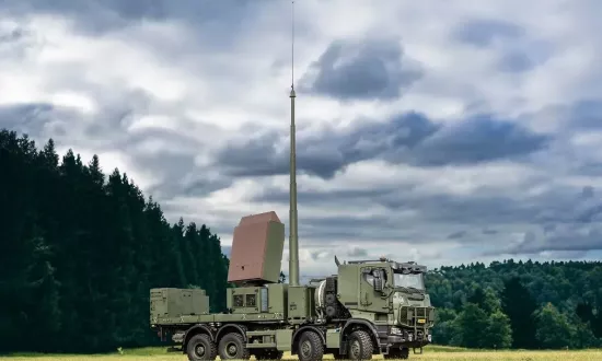
A large part of that performance is aided by the National Traffic Information Service (NTIS), which uses Thales’s technology and expertise to display real-time traffic information on prominent signage - including predicted journey times and warnings of accidents and congestion ahead - to millions of drivers on the Strategic Road Network.
Traffic and congestion on our roads is increasing, though, and that’s inevitably going to make it harder for Highways England to continue to meet performance targets. The challenge is also heightened by unmonitored A-roads, which feed on to the Strategic Road Network and have the potential to affect its flow with unpredicted increases in traffic.
The good news is that a new way of collecting, processing and disseminating live information through the National Traffic Information Service could one day change all that. And that’s the system which Thales is testing along the A5103 Princess Road in Greater Manchester.
A look at the bigger picture
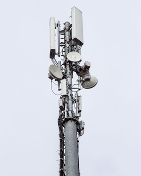
Thales is working with Highways England, and Transport for Greater Manchester to explore the viability of a new way to monitor, measure and mitigate road traffic congestion in areas outside of the Strategic Road Network. If passed into live service, the solution, which uses anonymised data from mobile phones to analyse the flow of traffic, could pave the way for a much broader analysis of traffic, ultimately extending across major A-roads which are outside of the Strategic Road Network.
The system on trial expands NTIS which is already monitoring other sources of traffic movements, such as GPS-based floating vehicle information. From the analysis of this data it can be inferred that something is causing traffic congestion. This may be a planned event, such as road works, an unplanned event, such as an accident, or simply normal rush hour conditions.
Either way, the information can be used to trigger the Traffic England website and roadside signage which tell drivers about the traffic ahead, how long the delay is and alternative routes, as well as giving Highways England and other interested parties a clear view of the bigger picture.
A cleaner, safer future
Timely, accurate information gives drivers an opportunity to avoid problems areas on Greater Manchester’s roads. Tailbacks will be mitigated and delays reduced. Everyone benefits.
For Highways England and interested parties, in the case of this particular trial, Transport for Greater Manchester, this could be an important enabler for meeting goals such as reduced congestion, lower air pollution, better road safety and all the other benefits which come from making sure that traffic keeps flowing smoothly and predictably.
The data is available. All that’s needed for cleaner, safer roads is the right technology and the will to imagine a world with fewer traffic jams. And that’s what Thales is testing in Manchester.