Understanding climate phenomena
Through Thales Alenia Space , a Joint Venture between Thales (67%) and Leonardo (33%), Thales has been a major player in Earth observation, contributing to the understanding of climate change and monitoring the environment over more than 40 years.
Thales’s engineers have contributed, via our space-based technologies and solutions, to deliver invaluable environmental, oceanographic and meteorological data to scientists, institutions and decision-making bodies.
Aware of this meaningful role, Thales Alenia Space launched, a few years ago, its “Space for Life” vision. Governments, institutions and companies rely on Thales Alenia Space to design, operate and deliver satellite-based systems that help them position and connect anyone or anything, everywhere, help observe our planet, help optimize the use of our planet's – and our solar system’s – resources. Thales Alenia Space believes in space as humankind’s new horizon, which will enable to build a better, more sustainable life on Earth.
What can be
monitored
from space?
- Pollution, and pollution movements
- Forest fires
- Beach erosion
- Deforestation
- Illegal exploitation of mines or natural resources
- Maritime transport security
- Natural disasters, tempests, hurricanes and many more
- Weather forecasts
- Oceans
A benevolent eye on our planet
Some Earth observation satellites are purpose-designed for environmental monitoring. Day after day, their optical or radar instruments stay focused on our planet. The images captured by these powerful instruments provide invaluable data to scientists, as well as to first responders and government authorities in the case of natural disasters. By providing up-to-date information on our climate and the planet’s health, they can help us respond when nature goes wild, as well as help understand climate change, optimize the use of our natural resources, protect populations at risk and much more.
Images gathered via these observation tools provide extremely valuable information to the scientific community, as well as to agencies and authorities who are meant to respond in the event of natural disasters.
Space Sentinels
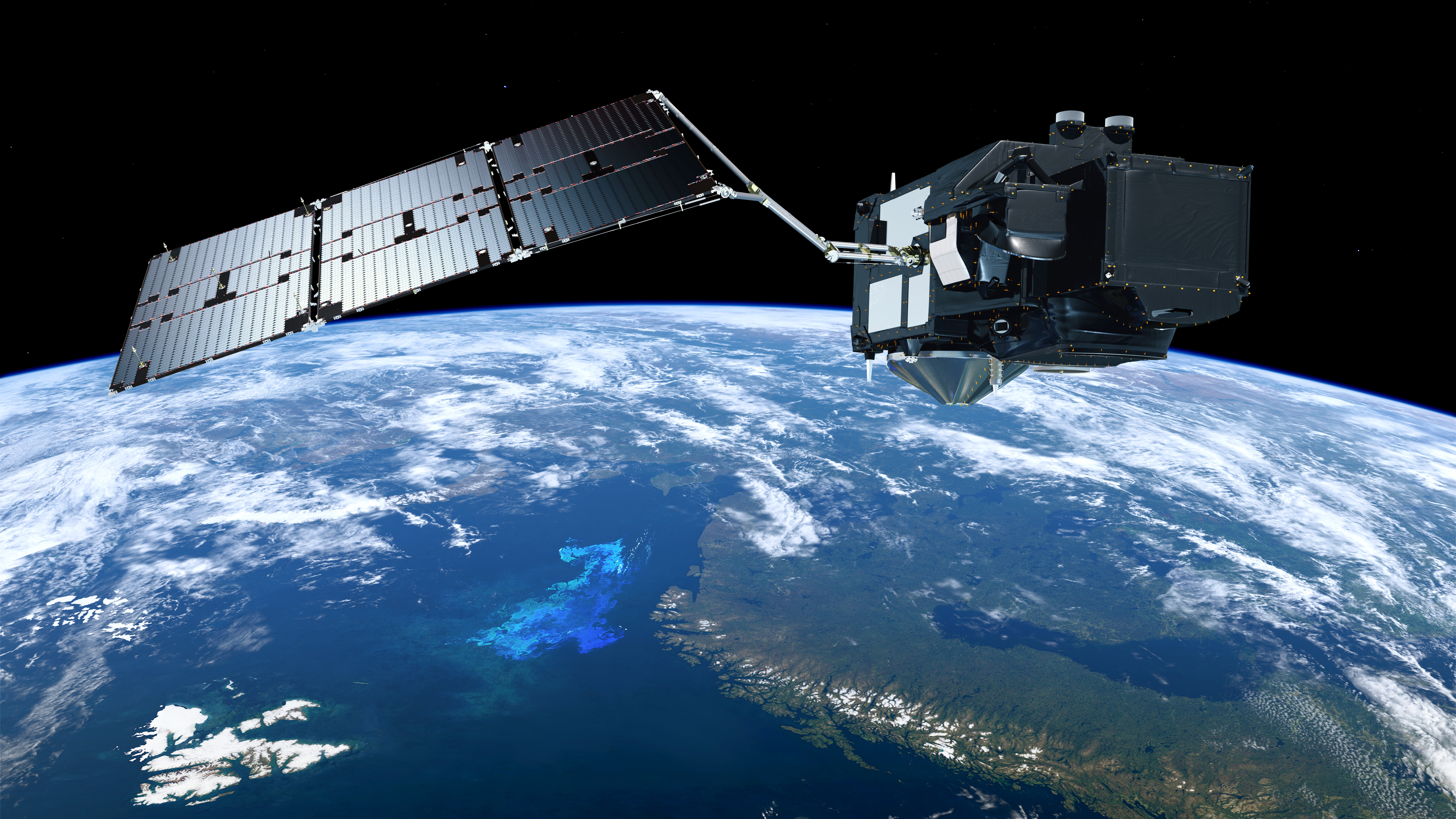
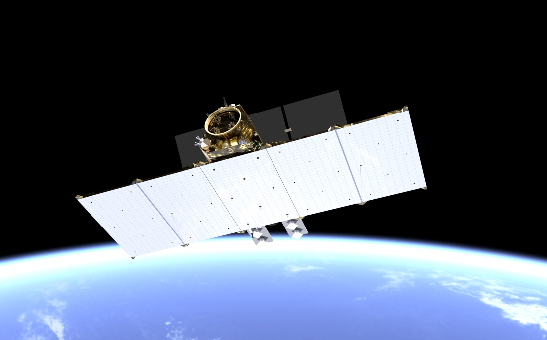
The Sentinel family of satellites, developed on behalf of the European Space Agency (ESA) within the scope of the European Commission’s Copernicus program, spearheads Europe’s environmental monitoring effort.
There are now six series of Sentinel satellites and payloads:
- Sentinel-1 monitors land and sea, day or night, in all weather conditions, thanks to its radar capabilities.
- Sentinel-2 and -3 acquire optical imagery at high resolution over land and coastal waters.
- Sentinel-4 and -5 are dedicated to meteorology and climatology missions.
- Sentinel-6 monitors the world’s oceans.
Thales Alenia Space is the prime contractor for Sentinel-1 and -3 (four satellites for each mission), as well as being responsible for the Sentinel-2 image ground segment, and contributing to the imager-spectrometer on Sentinel-5P and the radar altimeter for Sentinel-6.
Copernicus: the European programme dedicated to environment monitoring
Thales Alenia Space was chosen in 2020 for five of the six new Copernicus Expansion missions, three as prime contractor - CIMR, ROSE-L and CHIME - and will supply payloads for two other missions - CO2M and CRISTAL.
Specifically, Thales Alenia Space is prime contractor for:
- The CHIME mission: hyperspectral imaging for agriculture, food security, soil condition, biodiversity, etc.
- The CIMR mission: passive microwave imaging to measure ocean surface temperature and a number of marine parameters.
- The Rose-L mission: L-Band radar for monitoring of soil moisture and polar ice thickness.
The company is also responsible for:
- The CO2M payload for CO2 emissions monitoring generated by human activity.
- Providing the altimeter for the CRISTAL polar ice and snow topography mission.
The new satellites will be used to: measure carbon dioxide emissions in the atmosphere arising from human activity; check the thickness of ice fields and associated snow coverings; support advanced new services for sustainable management of agriculture and biodiversity; observe the temperature and salinity of sea surfaces as well as the density of ice fields; and bolster land monitoring and emergency management services.
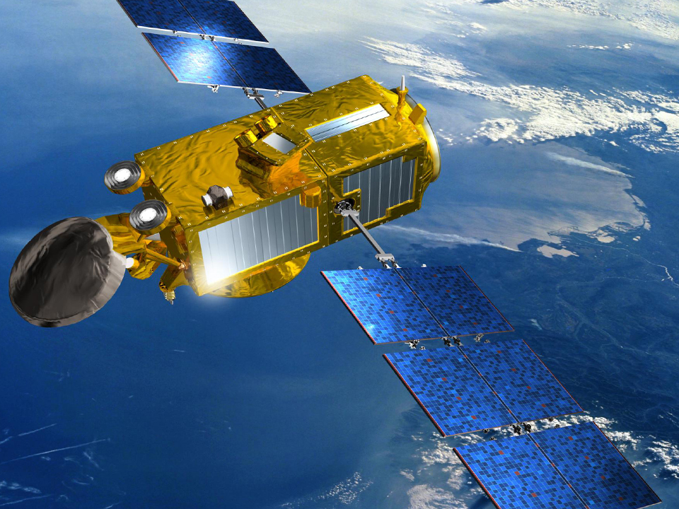
At the forefront of geostationary meteorology in Europe
For over 45 years, meteorologists have called on the rich data harvest from Meteosat satellites to make their weather forecasts. Thales Alenia Space will have built 3 generations of Meteosat weather satellites under its prime contractorship. Meteosat satellites provide a continuous stream of data to make sure that forecasts are as accurate as possible.
With the upcoming Meteosat Third Generation, images will be updated every ten minutes.
Covering Europe, the North Atlantic and Africa, Meteosat Second Generation (MSG) satellites update images every 15 minutes, as opposed to 30 minutes for the first generation. MSG satellites have delivered a considerable improvement in image quality thanks to a significant increase in the number of observation channels, better radiometric performance, and shorter revisit times.
They are capable of detecting and monitoring extreme natural phenomena (such as storms), which can have a disastrous impact on farming, fishing, land/maritime navigation and many other sectors.
With the upcoming Meteosat Third Generation (MTG), images will be updated every ten minutes, and the satellites will also carry atmospheric sounders, making weather forecasts even more reliable.
Thales Alenia Space is a world leader in space altimetry, a technique that enables the study of sea surface height, sea ice thickness, and river and lake levels, as well as land, ice-sheet and seabed topography.
Our company has provided a host of instruments for oceanography, including the Poseidon altimeters on the Topex-Poseidon and Jason 1, 2 and 3 missions for the French space agency CNES. We also built the AltiKa Ka-band altimeter for the French-Indian SARAL oceanography satellite, and the SIRAL 2 very-high-resolution SAR (synthetic aperture radar) altimeter on ESA’s Cryosat-2 satellite, capable of measuring variations in sea ice thickness and continental ice mass balance with unparalleled accuracy. In addition, we supply the SRAL SAR altimeters for Sentinel-3. Other examples include the MERIS multispectral optical “water color” spectrometer on the Envisat satellite and the OLCI instrument on Sentinel-3, the SWIM altimeter on the CFOSat satellite for CNES, which measures wave spectra, and the SADKO altimeters on Russia’s GEO-IK satellites.
Thales Alenia Space has contributed to some of ESA’s landmark scientific missions: the MERIS medium-resolution spectrometer on Envisat to reveal the secrets and colors of the oceans, GOCE (gravity field and steady-state ocean circulation explorer), which will provide a detailed map of Earth’s gravitational field, and the SMOS satellite for the analysis of soil moisture and ocean salinity. Our teams are also working on the state-of-the-art SWOT oceanography satellite for CNES and NASA.
The future of Oceanography: the SWOT programme
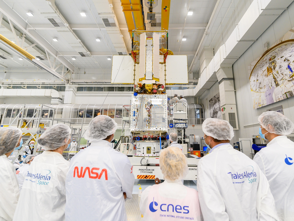
In January 2015, Thales Alenia Space was selected to develop the new Surface Water & Ocean Topography (SWOT) oceanographic satellite for the French space agency CNES and NASA in the United States.
As part of its oceanographic mission, the French-American satellite will allow researchers to determine ocean surface and wave levels with better resolution than the Jason satellites. This information will be used to analyse and understand the effects of coastal circulation on marine life, ecosystems, water quality and energy transfers, providing a better understanding of the relationship between oceans and the atmosphere.
The satellite's hydrological mission will involve measuring changes in water levels in wetlands, lakes and reservoirs, and in the flows of rivers on continental land masses.
Agriculture
Satellite-enabled precision farming allows farmers to save fuel by avoiding overlaps in field cultivation. They can also reduce pesticide and fertiliser use thanks to more targeted application.
The agriculture sector has been an enthusiastic early adopter of satellite technology:
over 90%
of tractors in the EU are already EGNOS (European Geostationary Navigation Overlay System) enabled.
Satellite-based navigation
The Galileo navigation satellite system contributes to many of the innovative trends on our roads, making passenger and freight transport more sustainable. Satellite-based navigation generally makes life on the road easier, by significantly reducing traffic and therefore its carbon footprint. Ride-sharing and other sustainable mobility solutions all rely on precise positioning.
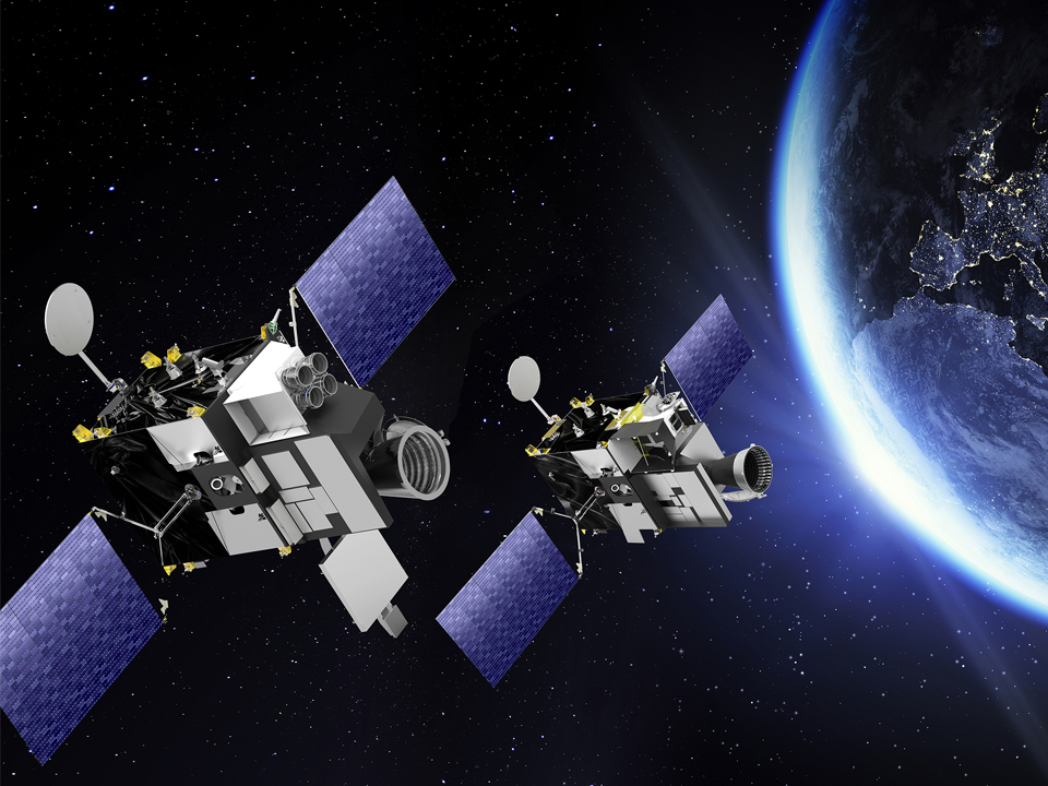
European Global Navigation Satellite Services (GNSS), in particular EGNOS, also help make air travel greener and more accessible. EGNOS-enabled procedures at airports result in fewer aborted landings, which in turn means significant fuel savings for airlines, and therefore reduced carbon emissions. Thales Alenia Space will play a major role on the Galileo Second Generation system, enhancing the constellation’s performance and cybersecurity. At the forefront of satellite navigation in Europe, Thales Alenia Space is prime contractor for the current EGNOS augmentation system and provides the ground segment for Europe’s new Galileo system. The company will also manufacture 6 satellites dedicated to Galileo Second Generation constellation.
With programs such as EGNOS and Galileo, Thales Alenia Space is at the forefront of satellite navigation systems in Europe.
What's next?
Thales Alenia Space was chosen by ESA and the European Commission to build six new satellites incorporating innovative technologies such as digitally configurable antennas, intersatellite links and all-electric propulsion systems. These satellites will improve Galileo’s accuracy as well as resistance to signal interference and jamming. Reflecting the upcoming digital decade, this capability will also support the system’s increased use for defence and security applications.

Why should we explore the universe when our own planet is at risk?’ This is what a group of researchers asked astronaut Thomas Pesquet.
My own response to that question is that after 50 years of aiming for the stars, we now have to demonstrate that our Promethean dreams can ultimately contribute to a more sustainable life on Earth.
Any in-depth analysis of space exploration has to take into account its broader positive effects. I believe that these are so significant that, far from slowing down the ecological transition, space exploration actually helps drive it forward.
Patrice Caine
Chairman and Chief Executive Officer